


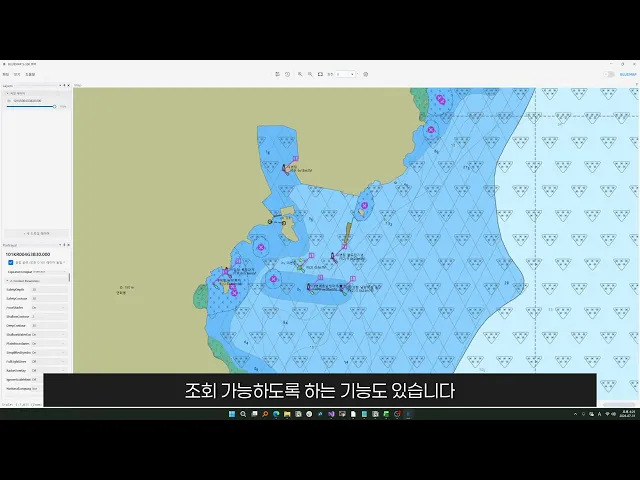

Visualizes S-101 Electronic Navigational Chart (ENC) data, including coastlines, soundings, Aids to Navigation (AtoN), and restricted areas with high precision.
Seamlessly overlays S-102 Bathymetric Surface and S-104 Water Level Information onto S-101 ENCs for integrated depth and water level analysis.


Select any location on the map to instantly explore S-100 features and attributes across overlapping layers, making complex multi-layer marine data easier to understand.
Allows users to search and inspect feature and attribute definitions based on the Feature Catalogue, simplifying S-100 data structure verification.

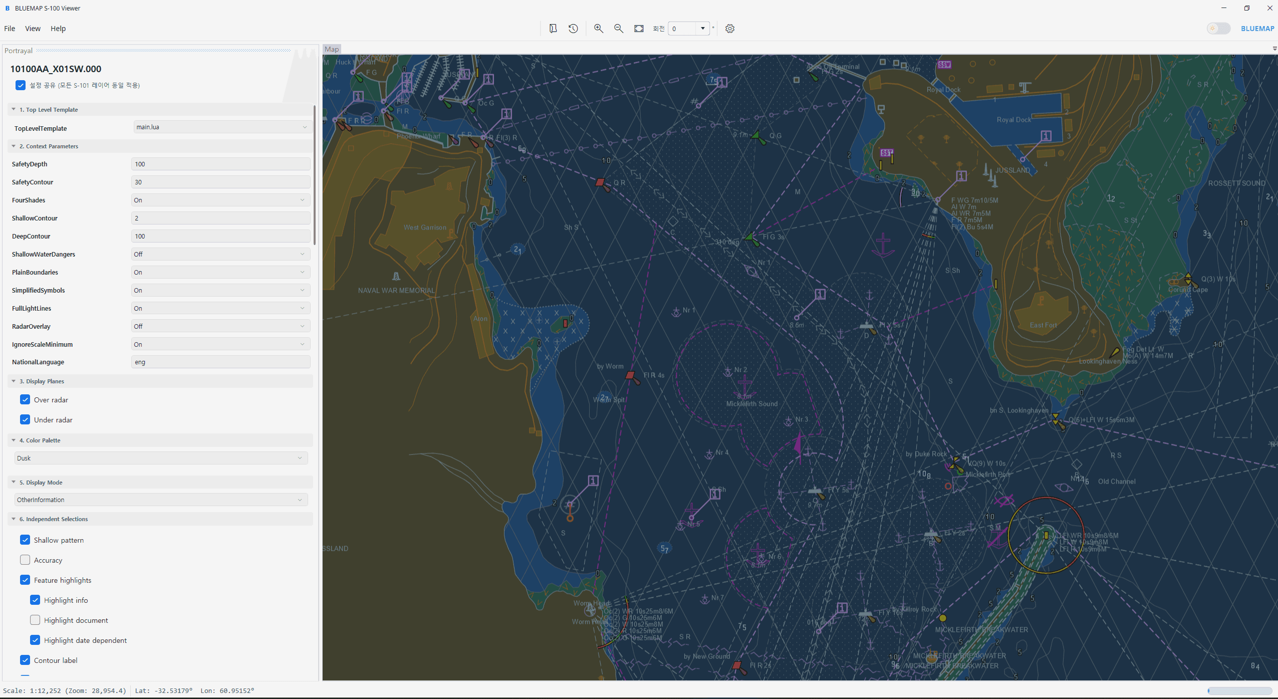
Renders S-100 data according to the symbols, colors, and portrayal rules defined in the Portrayal Catalogue, based on BLUEMAP's Marine GIS and geometry processing technologies.
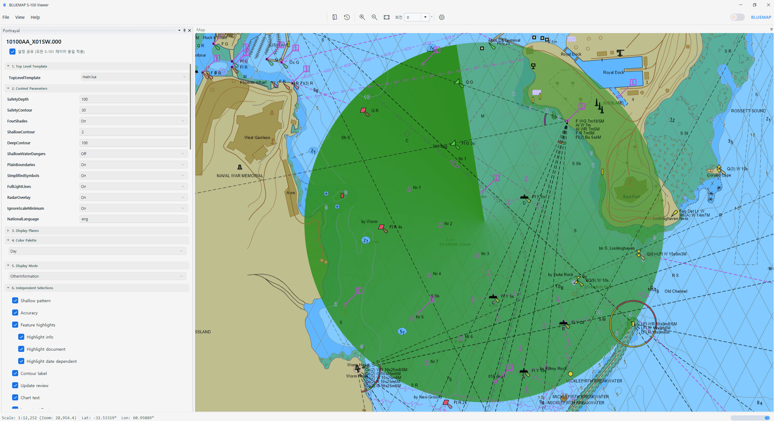
Offers full transparency and visibility control over S-101, S-102, and S-104 layers, while enabling Radar overlay to compare real-time data with standardized charts.
FAQs
How is the S-100 Viewer different from a general GIS viewer?
Unlike general-purpose GIS viewers, BLUEMAP S-100 Viewer is specialized in IHO S-100 data structures and portrayal rules. It processes and visualizes marine data based on S-100 components such as the Feature Catalogue and Portrayal Catalogue.
Which S-100 data products are supported?
Can the Viewer be used in closed or network-separated environments?
Can the Viewer be customized for specific organizations or projects?